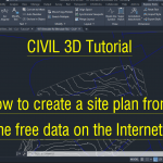
https://youtu.be/g7gfDqiScpw LIDAR CONTOURS: How to import a LIDAR Digital Elevation Model (DEM) to Autodesk Civil 3D. This uses a GEOTIFF file (.tif) downloaded from https://elevation.fsdf.org.au/ (better know as ELVIS!) BOUNDARY LINES: How to import a ESRI Shapefile into Autodesk Civil 3D. This uses a SHP (.shp) file downloaded from … [Read more...] about How to import a LIDAR TIF file into Civil 3D
Civil 3D
Civil 3D Tutorial – Insert COGO points from a surveyors CSV file
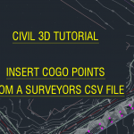
Setting the scene: The Land Surveyor has taken some spot levels, of work as executed, for a land development project. They have sent me those spot levels as a CSV file. This file is comma delimited. So how do I import this data as COGO points into Autodesk Civil 3D? In this video tutorial I show you how to do this in AutoCAD. https://youtu.be/KODdPE6CVEE … [Read more...] about Civil 3D Tutorial – Insert COGO points from a surveyors CSV file
AUGIWorld March 2021 Issue

From: https://www.augi.com/augiworld/issue/march-2021 Tips & Tricks Our authors share their favorite 2021 tips and tricks to help us better our production time and show us ways to accomplish workflows much easier. In the March 2021 issue: 12 Tips and Tricks You Need to Know — Brian Chapman shares 12 tips and tricks that will have you showcasing your 3ds Max … [Read more...] about AUGIWorld March 2021 Issue
AUGIWorld February 2021 Issue

From: https://www.augi.com/augiworld/issue/february-2021 Advice for New Users Here we are into the second month of 2021. What is better than giving out good advice? This month’s issue spotlights the authors doling out their best advice and practices for software and production. Maybe some of you will find new ways to speed up your workflow, or just take some good … [Read more...] about AUGIWorld February 2021 Issue
Civil 3D Tutorial for Beginners – Create a natural surface
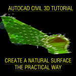
How can I create a natural surface (existing conditions) in Civil 3D software? In this video I show you how, in a practical way. We also discuss some good practices to make your civil designing more successful. https://www.youtube.com/embed/IV-1qBypQuM The Civil 3D template for Australia mentioned in this video can be download from this … [Read more...] about Civil 3D Tutorial for Beginners – Create a natural surface
Civil 3D Tutorial For Beginners – Create a longsection without death from a thousand cuts!
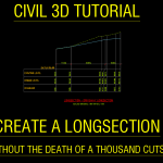
How can I create a longsection (profile view) of a driveway design in Autodesk Civil 3D? In this tutorial I show you how to do this. I also show you how not die, a painful software death of frustration, with some power user tips and tricks. The Civil 3D template for Australia mentioned in this video can be download from this URL: … [Read more...] about Civil 3D Tutorial For Beginners – Create a longsection without death from a thousand cuts!