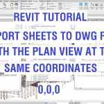
The problem: I am exporting - to DWG format - a couple of levels from my Revit model. They are level 1 and level 2 general arrangement plans. But the coordinates in this CAD export are different in each sheet. Level 1 does not align up with Level 2. The 0,0,0 coordinates are in different locations. How do I export drawings to a consistent coordinate location for all my plan … [Read more...] about Revit Tutorial – Export sheets to a DWG file with the plan views at the same coordinate point
Revit Tutorial – Add a level but no plan shows in the project browser
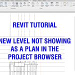
https://youtu.be/TqQxEwUyOLo I have create a new level, but it is not showing in the Revit project browser list as a plan. How do I do this? In this video help tutorial we will show you how. … [Read more...] about Revit Tutorial – Add a level but no plan shows in the project browser
Engineers Love Affair with 2D Drawings

A podcast from unprofessional engineering. People have been using 2D drawings for thousands and thousands of years to depict everything from creatures they have seen (on cave walls) to detailed design plans. In this episode, we bring in our friend and 2D drawing expert, Paul Munford, to help us unwrap the history of the 2D drawing and why it is still so critical in the … [Read more...] about Engineers Love Affair with 2D Drawings
Revit Tutorial – How to link an Architectural DWG file for coordination
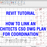
https://youtu.be/u1pcA3WFOUc The Architect has issued concrete setout plans in PDF and DWG file format. How do we link this AutoCAD DWG file into our Structural Revit model for coordination? In this video screen share tutorial we show you a simple method for success and how to change the overlay colors so it is easier to read. … [Read more...] about Revit Tutorial – How to link an Architectural DWG file for coordination
AutoCAD Tutorial – DIVIDE Command on Column Reinforcement Tie Type Detailing
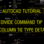
https://youtu.be/Ow6CJlomk8M A tip on how to use the DIVIDE command in AutoCAD drafting software. In this video tutorial I show you how to copy a column tie type detail with 10 vertical reinforcement bars and change it to 26 vertical reinforcement bars and ties modified to suit. … [Read more...] about AutoCAD Tutorial – DIVIDE Command on Column Reinforcement Tie Type Detailing
How to background mask text in AutoCAD
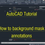
https://youtu.be/cXel_S3rGo4 A background mask on text makes it easier to read because the linework under it is hidden. Here is now to do this in AutoCAD drafting software. … [Read more...] about How to background mask text in AutoCAD